Maps & Trip Planners
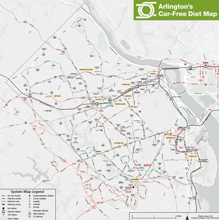
Arlington's Car-Free Diet Map (PDF, 1.66 MB) – Map of Arlington showing bus routes, bike routes, bicycle/pedestrian trails, Metro stations, Capital Bikeshare stations, and more. PDF, 1.66 MB, Adobe Reader required. Click the link above or thumbnail image below.
BikeArlington Maps & Routes – Includes links to the Arlington County Bike Map (PDF) and Arlington County Bicycle Comfort Level Map (PDF).
Capital Bikeshare System Map – Interactive map with station locations and real-time bike and dock availability.
Car-Free Near Me – Online tool that maps car-free transportation options near any location in the Washington, D.C. area, shows where transit routes go, and provides real-time service information.
Alexandria DASH System Map (PDF)
Fairfax Connector Schedules and Maps – Links to PDF schedules and maps for each route.
Google Maps – Popular online street maps show transit stations and bus stops. The "Get Directions" feature includes directions for bicycling, walking, or using transit. Transit directions are linked to schedule and real-time information.
MARC Commuter Rail and Md. Dept. of Transportation Transit Maps
Metro System Maps – Click the "Rail" tab for an interactive map of the Metrorail system and printable PDF options. Default view includes interactive map showing Metrobus routes and stops. Links to PDF area maps showing all Metrobus and local bus routes in the region. Links to a PDF timetable and map for each bus route.
Metro Trip Planner – Provides an itinerary for traveling by Metrorail, Metrobus, and local bus between your start and destination addresses, neighborhood names, or landmarks.
Montgomery County, Md. Trip Planning Tools – Transit-oriented maps and planning tools.
Prince George's County, Md. Transit Maps & Schedules – TheBus system map, route maps, and schedules.
